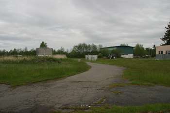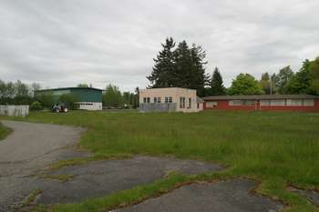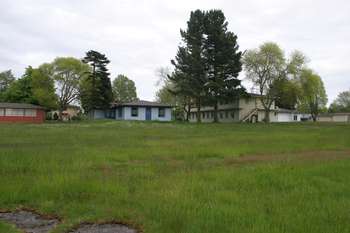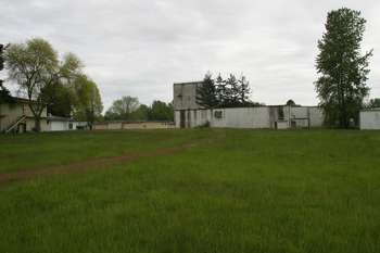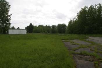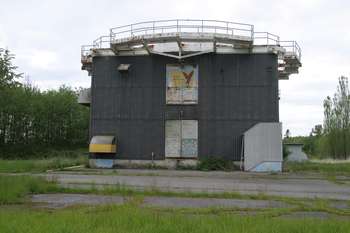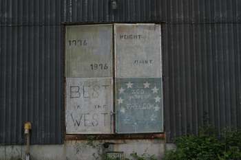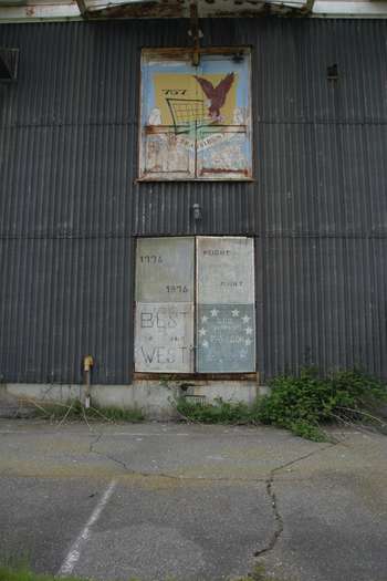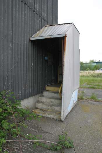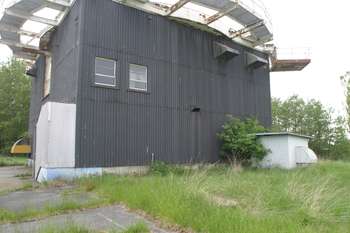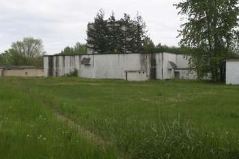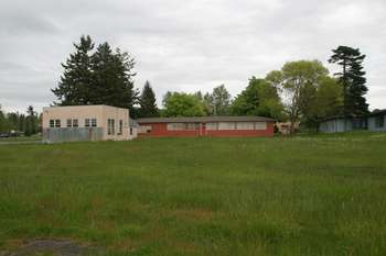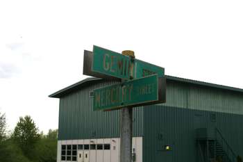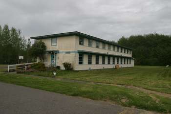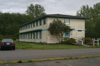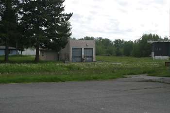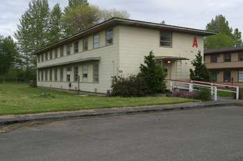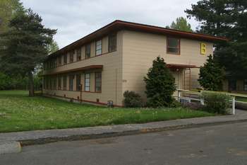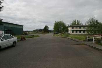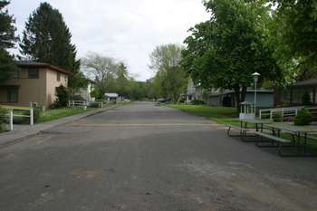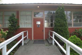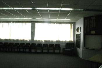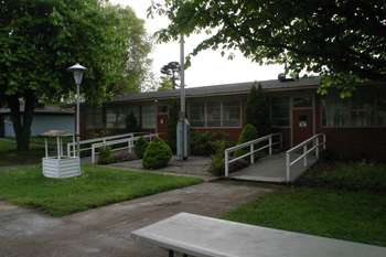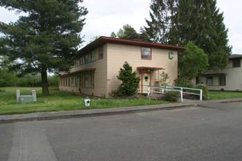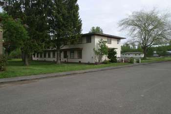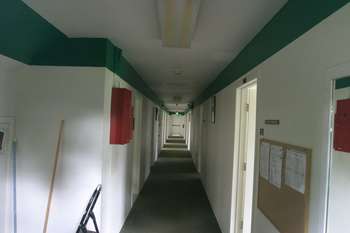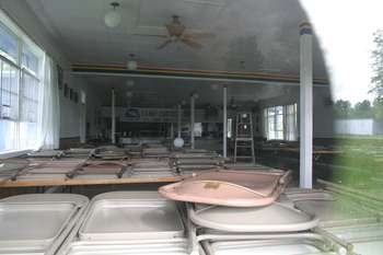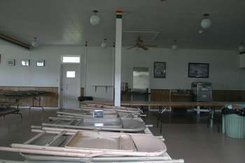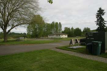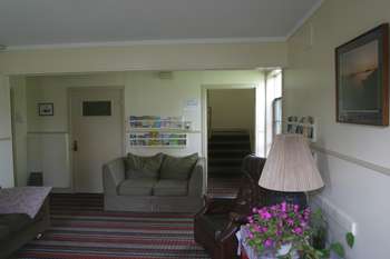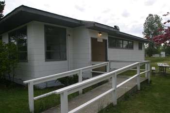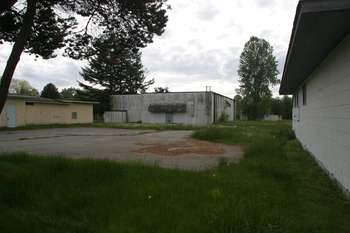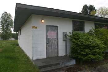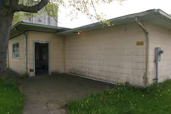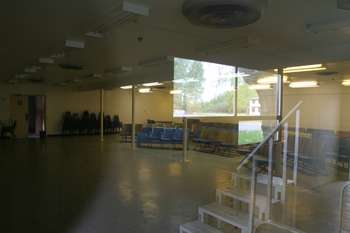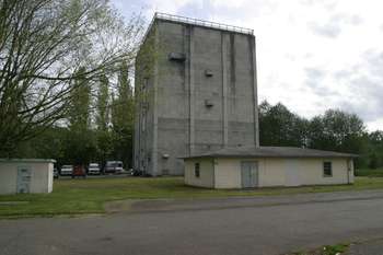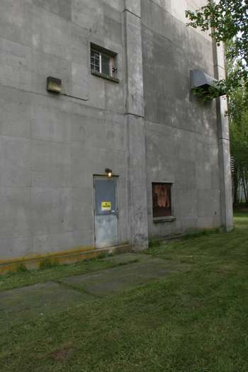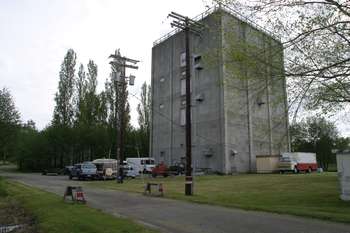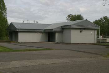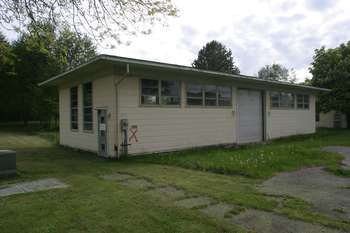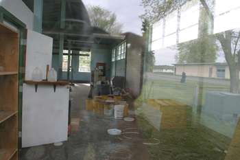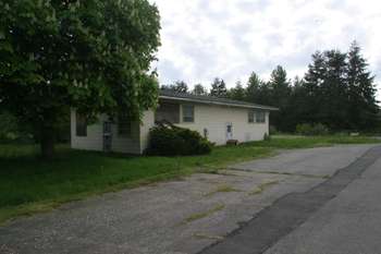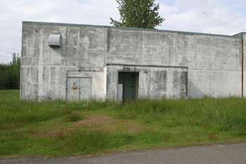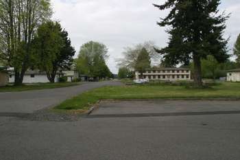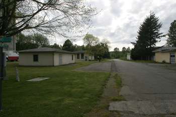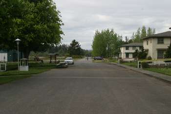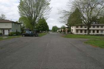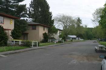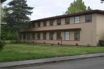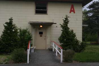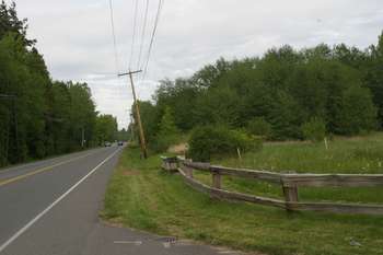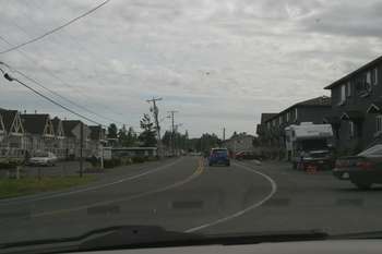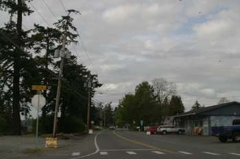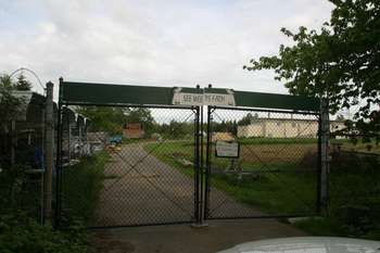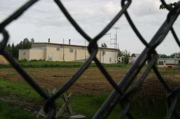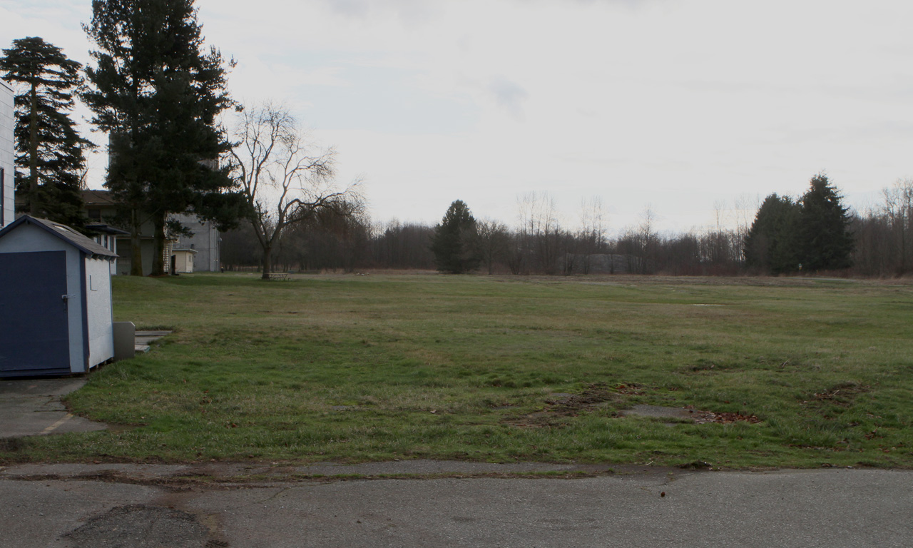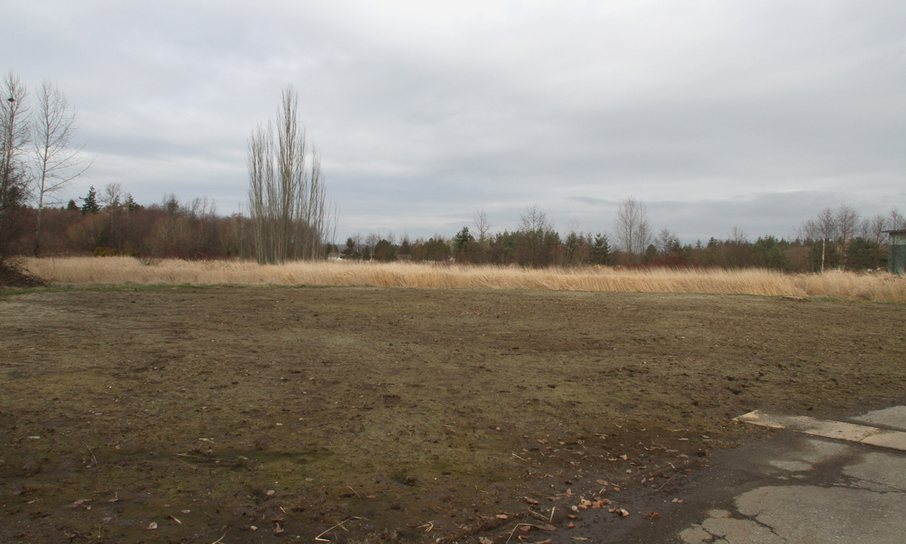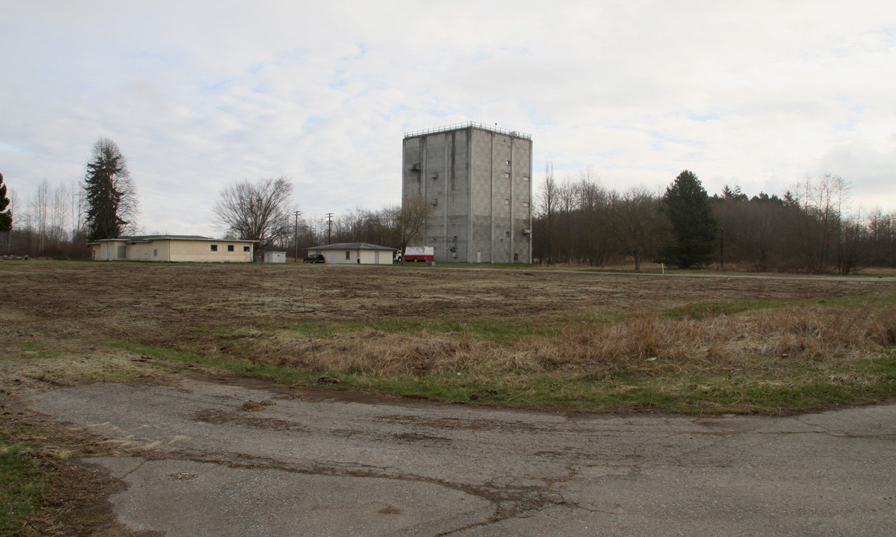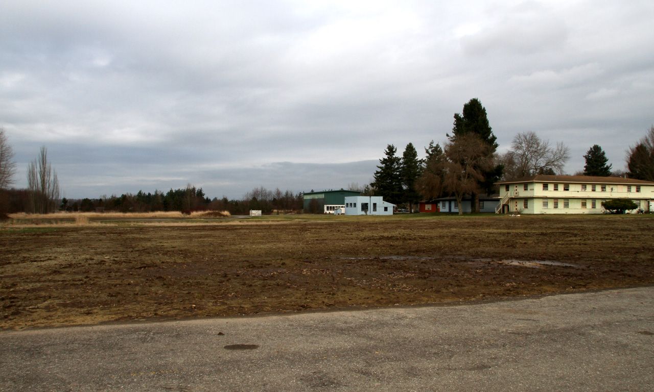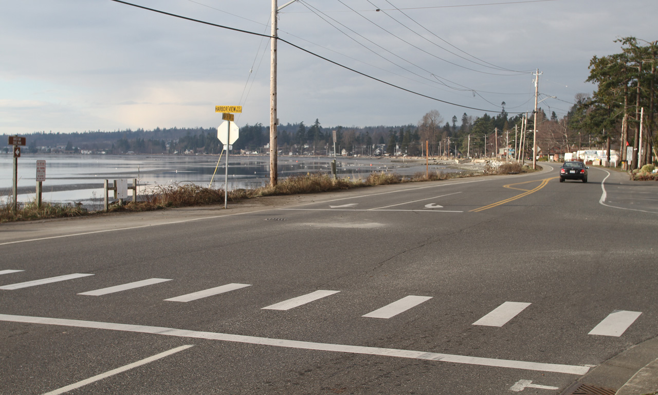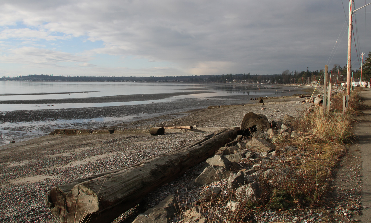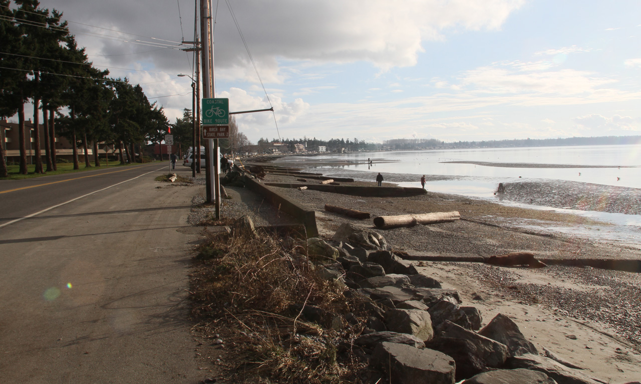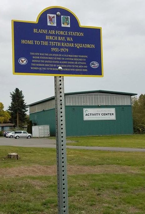
It was a plum of an assignment, located near 2 large cities, with many recreational amenities either onsite or nearby. Compared to the usual location of other radar sites, on mountain tops or 20 miles past the middle of nowhere, there weren't many other sites like it.
Reunion News
At this point we'll try to hold a reunion every other year (even years). There is a email reflector that we use to keep people in the loop, and there are a couple of pages on FaceBook. Contact Rick or TJ if you can't figure it out.Facebook page for reunions
My Time At the 757th
I was stationed at the 757th between 1969 and 1970, when I got orders for Korea. I was there less than a year, and I suspect that the 757th was a parking spot for me that was near McChord until HQ USAF could find an overseas slot for me. I'd had three CONUS assignments and I'm sure that as far as HQ was concerned, it was my turn. 1969 was a long time ago, and a lot of what I remember of the site is quite hazy now. In particular, the assignments then of various buildings is quite fuzzy, and your help in identifying them is appreciated.I was not particularly disposed to staying on base when I wasn't working, so I really didn't avail myself of many of the amenities there. The truth is that I was passing time until my DOS. I worked at the GATR (Ground Air Transmitter Receiver) site, which diminished my understanding of the rest of the site even more. Since my parents lived in Seattle, I drove home during my breaks. That close to home, the 757th was a great place to be.
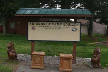
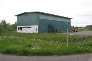
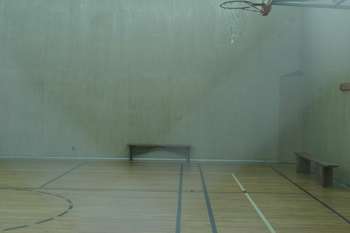
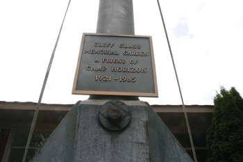
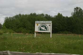
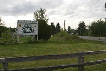
After the 757th shut down in January 1979, the site was given to Whatcom County and the county leased a portion of the site to the Lion's Club, for a facility called Camp Horizon which is devoted to people (not just kids) with special needs. The county also has a rec/fitness prgram that operates out of the Gym, and the gym gets used for other events in and for the community.
On Saturday, May 16, 2009, I visited the old radar site. It was warm, but not particularly clear, which you can see in the pictures. Another grey day in the Pacific Northwest. There is demolition sometime in the old site's future, and I wanted to see it before this happened.
I visited the site previously in 2002, and recall that a few more buildings were present, especially down by the 24-tower. Those buildings were the steam plant (612) and the water treatment plant (626). They're gone now.
I located the images taken in 2002, but they didn't fill in any more details.
Further Updates
Thanks to Michael Terrell, who was stationed at BAFS 1970-1974. He's from Ferndale, now lives in Virginia. He sends:Building 740 was the Supply warehouse. We stored extra furniture for base housing, a tool crib that we built and other supply-like stuff. I learned to drive a forklift while there. They were actually fun to drive.
Building 750 housed the supply personnel, our desks and files. We had about 5 enlisted, a lieutenant and a secretary. At the end of the building near building 740 was a Security Police office. The SP managed the front gate assignments when it needed to be manned, made ID cards and gave out stickers for cars. One of my High School English teachers came by one day for a new ID card. Unknown to me he was retired army. It was fun to see him 4 years after I graduated.
The Future
I did some further research and found a couple of articles in the Bellingham Herald that described Whatcom Couunty's current and future plans for the site. They want to develop it into a county park site, and in order to do this, need to demolish some of the existing buildings. It appears this is still in the planning stages and they do not yet have funding.Bellingham Herald, March 22, 2009 Bellingham Herald, May 7, 2009
There is also more to be found in the
Whatcom County Park's openspace plan.
Search/look for Bay Horizon Park. Excerpts here:
Openspace Plan Excerpt #1 (1.9mb)
Openspace Plan Excerpt #2 (33kb)
Visit: January 2010
On January 23, 2010, I visited the site again after hearing rumors of demolition. It was true. The following buildings are now gone:- OPS, building 658
- Supply warehouse, building 740
- Supply offices, building 750
- 26-tower, building 550
- Auto Hobby shop, 428
On another note, the property across Alderson Road from the entrance to the site has been sold. There are new homes there now.
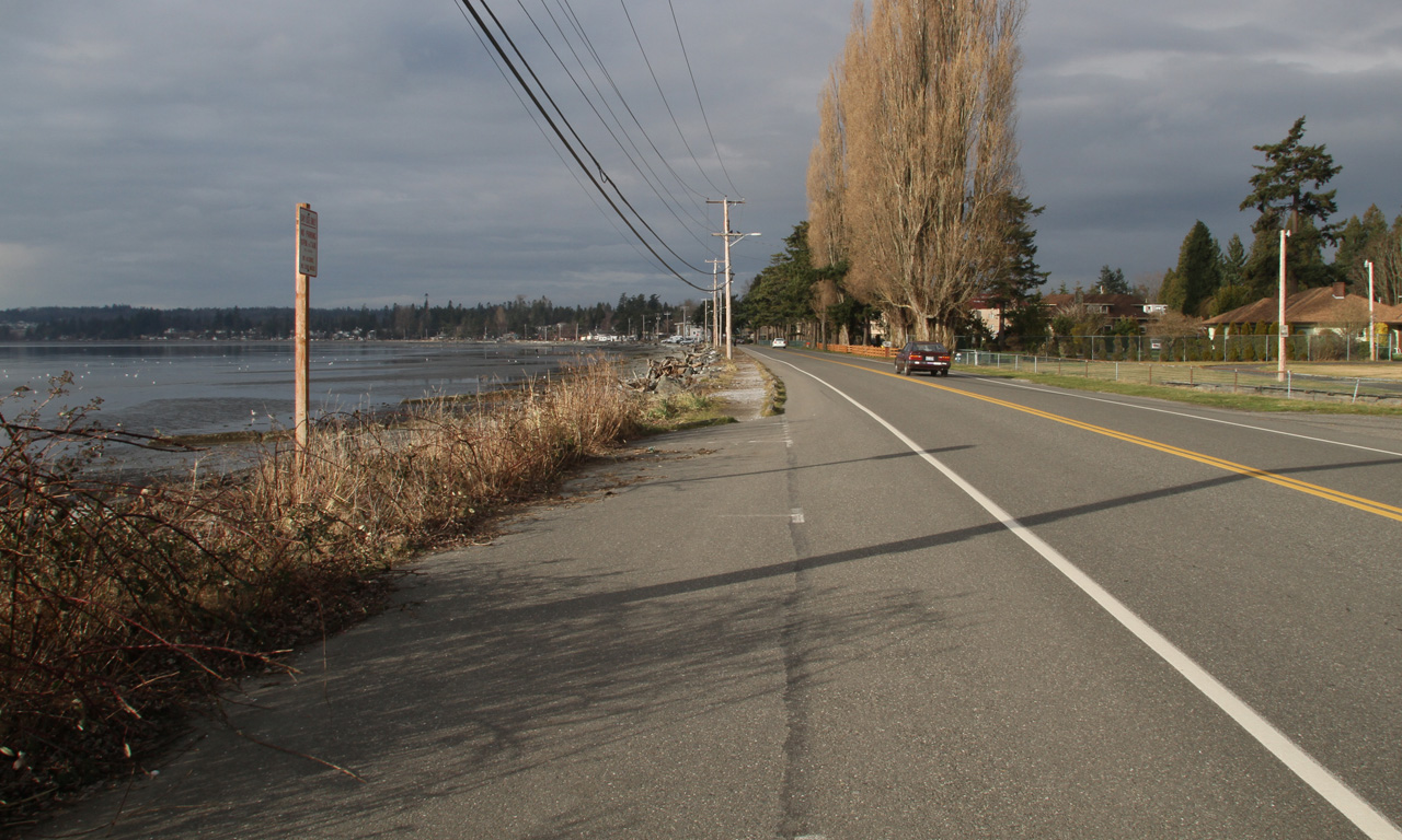
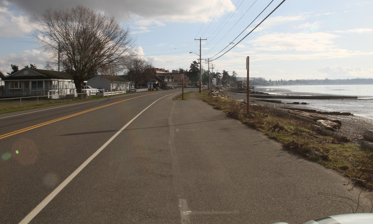
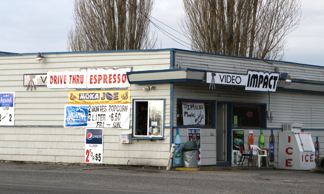
I took some time to drive towards Blaine along Birch Bay, to see what had changed. The answer is, a lot. There are many resorts now, upscale hotels, etc. the homespun look is gone. It's pretty commercial.
There are pictures from this trip in the pictures section of this page.
Software
Most of the time I use a free image editing tool called xnview. I find it works really well, has a good feature set, and you can actually get work done with it. Best of all, it is free. I have Photoshop for when the going gets tough, but I find xnview easier and faster to use.For panoramic photos, I use a program called Panavue Image Assembler. It stitches multiple photos together to make a single large composite frame. You can download a free demo version. I liked it enough to pay for it.
Contact Me
If you have comments, corrections, etc... you can contact me via email:I still live in the Seattle metro area.
Panoramic Photos
These images were taken by using my wide angle lens, taking successive shots while rotating the camera around the axis of my body. I use an image stitching program to assemble the pieces into much larger images.These initial views are scaled and highly compressed so they fit your browser while still downloading quickly. Clicking on any of them brings up the full-sized image, which is huge (9-14mb). It was saved at highest resolution so you can go looking "inside" the image for closer details. If you have 2 screens, you can "stretch" the image across both of them.
If you hover your mouse pointer over the image, you'll see, either in the lower left status area or as a tooltip, the size of the full-sized image.
Don't click on these images unless you have a high-speed connection or a lot of spare time.
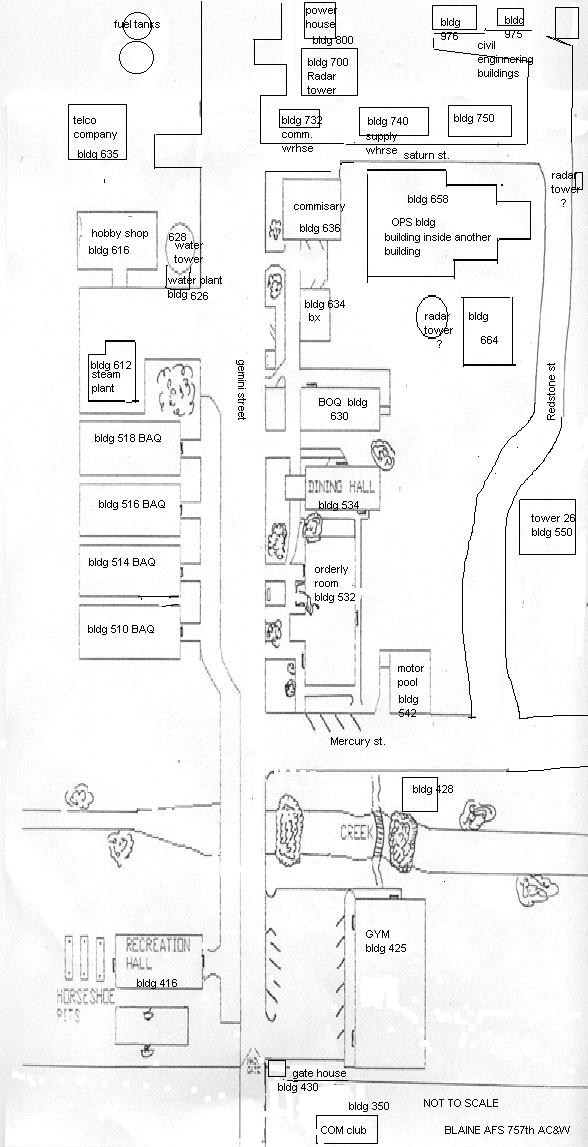
Squadron Map (note: North is DOWN)
Normal Sized Photos
Click on any image to enlarge it. The enlarged images are 1280 x 675. In the interest of saving space on my webserver, these have been reduced from those produced by my camera (Canon EOS-10D, 3072 x 2048 pixels). Some have been processed in Photoshop or its equivalent and some are raw. The full-sized images are around 3mb, if you're on a dialup, it may take a minute or two to download. The enlarged images should display pretty large, and if there's one that you'd like to see at camera resolution, please end me the filename in an email. Numbers in parenthesis are building numbers referenced on the site map. Names used reflect those
used during the site's lifetime, and have no necessary relationship to current usage.
January 2010 Visit
GPS Coordinates
Google Earth KMZ file for Blaine AFS. After launching Google Earth, load the kmz file. It will lead you to the site coordinates.
| Blaine AFS | 48° 54' 50.09"N | 122° 44' 2.80"W |
| GATR | 48° 54' 5.89"N | 122° 41' 30.29"W |
Main Site - Google Maps
Getting there:Take I5 north to Exit 270, the 2nd Birch Bay exit.
Turn left at the top of the ramp. This is Birch Bay - Lynden Road
At Blaine Road, turn left.
Follow Blaine Road until it intersects Alderson Road.
Turn right on Alderson. The site is about 1/2 mile towards Birch Bay on your left.
Zoom in to see the site, located at the "A" marker.
GATR Site - Google Maps
Getting there:From the site, go right on Alderson road, then right on Blaine Road.
Turn left on Bay Road, aka Blaine-Ferndale Road.
After you cross Kickerville Road, look on your right for Telstar Road. It should be the 2nd right after Kickerville.
Turn right on Telstar, and follow the road to the end. It appears that the GATR site land is now private property.
Increase the magnification, then follow the road to its end. The gate is located where the road turns east.
Links
Home | Blaine AFS 757th Radar Squadron Historical Website | Point Arena AFSOnline Air Defense Museum | Radomes.org | Sage System (Wikipedia)
Pictures and text copyright © 2009-2018 by Rick Chinn. All rights reserved. Permission granted for private non-commercial use.
Last modified 12/11/2018 17:58:4.


